Royal Perth Hospital Flight Path
Consultation has concluded
Amendment No. 47 to City Planning Scheme No. 2 and Amendment No. 5 to Local Planning Scheme No. 26
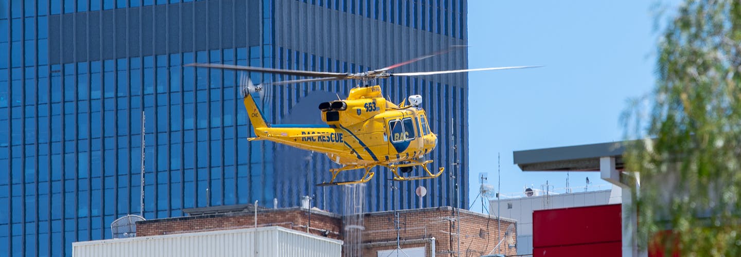
Helicopter transport provides the quickest means of transferring critically injured patients to a major trauma service. The Scheme Amendments secure critical operations of the Emergency Rescue Helicopter Service at Royal Perth Hospital through:
- Creating a Special Control Area comprising of a “core flight path area” and a “frame flight path area” that make up the emergency flight path protection area route;
- Limiting maximum building heights within the “core flight path area”;
- Managing works and temporary structures (such as cranes) within the core and frame areas, to avoid an obstruction risk within the emergency flight path corridor; and
- Creating a consultation process with the Eastern Metropolitan Health Service so they can provide advice on development applications located within the emergency helicopter flight path protection area.
PROJECT UPDATE
The Minister for Planning approved the scheme amendments in February 2024.
FLIGHT PATH
What was considered when choosing a flight path?
A number of flight path alignments were evaluated throughout the preparation of the Scheme Amendment to determine the preferred alignment as described within the Scheme Amendment documentation. The selection of the alignment considered helicopter safety, critical emergency response times for patients and minimising impacts on community and property (and was chosen to have the least impact on potential/future development).
SITE MAP fig. Proposed Flightpath Map
Scheme Amendment Documents
Local Planning Policy Documents
-
 Section 2.1 - Applications.pdf (1.09 MB) (pdf)
-
Section 2.3 - East Perth Belvidere.pdf (1.16 MB) (pdf)
-
Section 2.4 - East Perth Victory Terrace.pdf (1.82 MB) (pdf)
-
Section 2.5 - East Perth Jewell Lane.pdf (1.85 MB) (pdf)
-
Section 2.14 - East Perth Lord and Norbet.pdf (594 KB) (pdf)
-
Section 2.15 - East Perth Nortbert and Clotilde.pdf (720 KB) (pdf)
-
Section 4.4 - Setbacks and Building Heights.pdf (1.77 MB) (pdf)
-
Section 6.3 - Goderich.pdf (2.44 MB) (pdf)
-
Section 6.4 - Terrace Road.pdf (4.43 MB) (pdf)